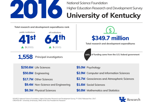
Federal research funding has been flat nationally, but you wouldn't know it by UK's funding numbers, which show three consecutive years of growth.
Call for Applications for the 2018 Eastern Unconventional Oil & Gas Symposium - Due January 26, 2018
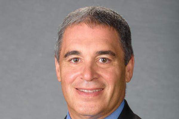
Rick Honaker, Professor of Mining Engineering, was awarded $6 Million by the Department of Energy to move on to a second phase of research in an effort to recover rare earth elements from coal and coal byproducts.
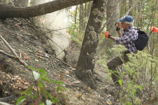
Thorson published findings on a new antibiotic derived from a soil bacterium from a KY coal fire.
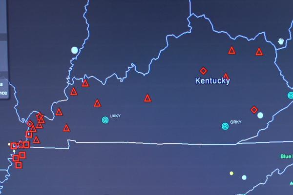
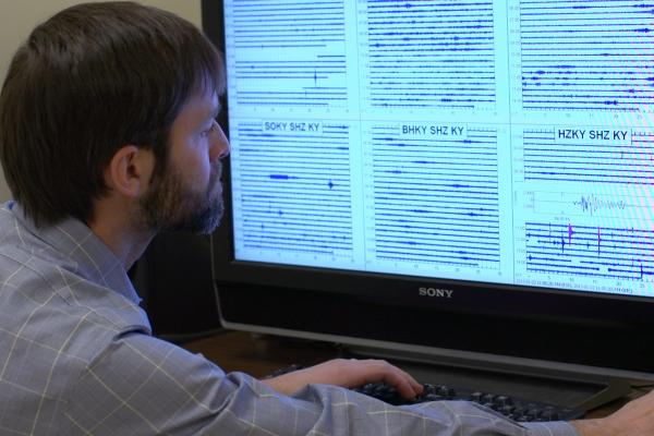
The network, run by KGS, is made up of 24 stations across the state to monitor seismic activity.
With data collected from 24 stations across the state, KGS scientists can tell us why the ground is shaking.
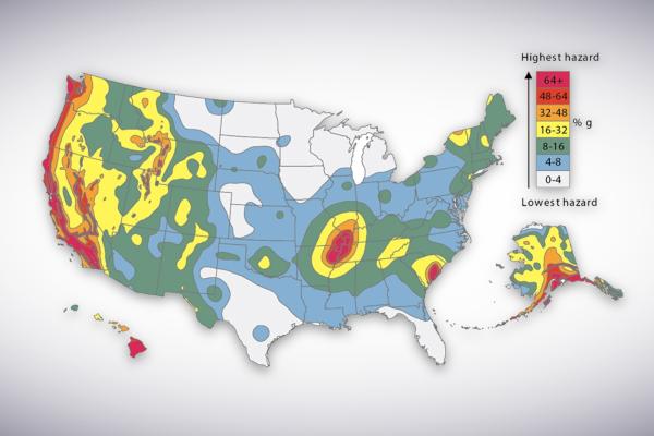
KGS researchers say the USGS earthquake hazard map overstates the threat.
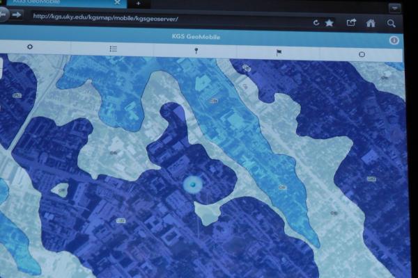
KGS completed a detailed map of Kentucky. It's free online and on your phone.
On December 1, 2011, the KGS celebrated a major achievement in the mapping of Kentucky's geology.